CryoSat-2
The CryoSat-2 satellite mission, launched by the European Space Agency (ESA) in 2010, is a dedicated mission focused on studying Earth's polar ice sheets. It employs a radar altimeter to measure ice sheet thickness with precision. This mission is crucial for understanding the impact of climate change on ice sheet stability and sea level rise, providing valuable data for climate research.
CryoSat-2 was launched on April 8, 2010, from the Baikonur Cosmodrome in Kazakhstan. Initially, its mission was planned for a nominal duration of three years. Currently, CryoSate-2 is still operational with a lifespan of more than 13 years.
The altimeter onboard CryoSat-2 is known as the Synthetic Aperture Interferometric Radar Altimeter (SIRAL). SIRAL sends radar pulses towards the Earth's surface and records the time it takes for the signals to bounce back. This data is used to calculate the elevation of the ice surface with remarkable precision, down to the centimeter level. SIRAL can operate in interferometric mode, which means it uses two antennas (instead of one) to improve the positioning accuracy of its measurements. Furthermore, instead of a single point per pulse, up to two orders of magnitude more measurements are taken.
You can read more about CryoSat-2 here.
Estimating Glacier Volume Change
The work done here describes the elevation change estimation of the Jakobshavn glacier using CryoSat-2 L1B L2 data. Since the proposed methodology employed the novel swath-processing scheme, the method was also applied to the entirety of Greenland to check out the feasibility of the method for large-scale applications. As for the Jakobshavn glacier and the ice sheet that discharges into the ocean at the Jakobshavn glacier terminus, it was found that the mass loss was -24.7 ± 3.0 Gt/year for the period between November 2010 and March 2016.
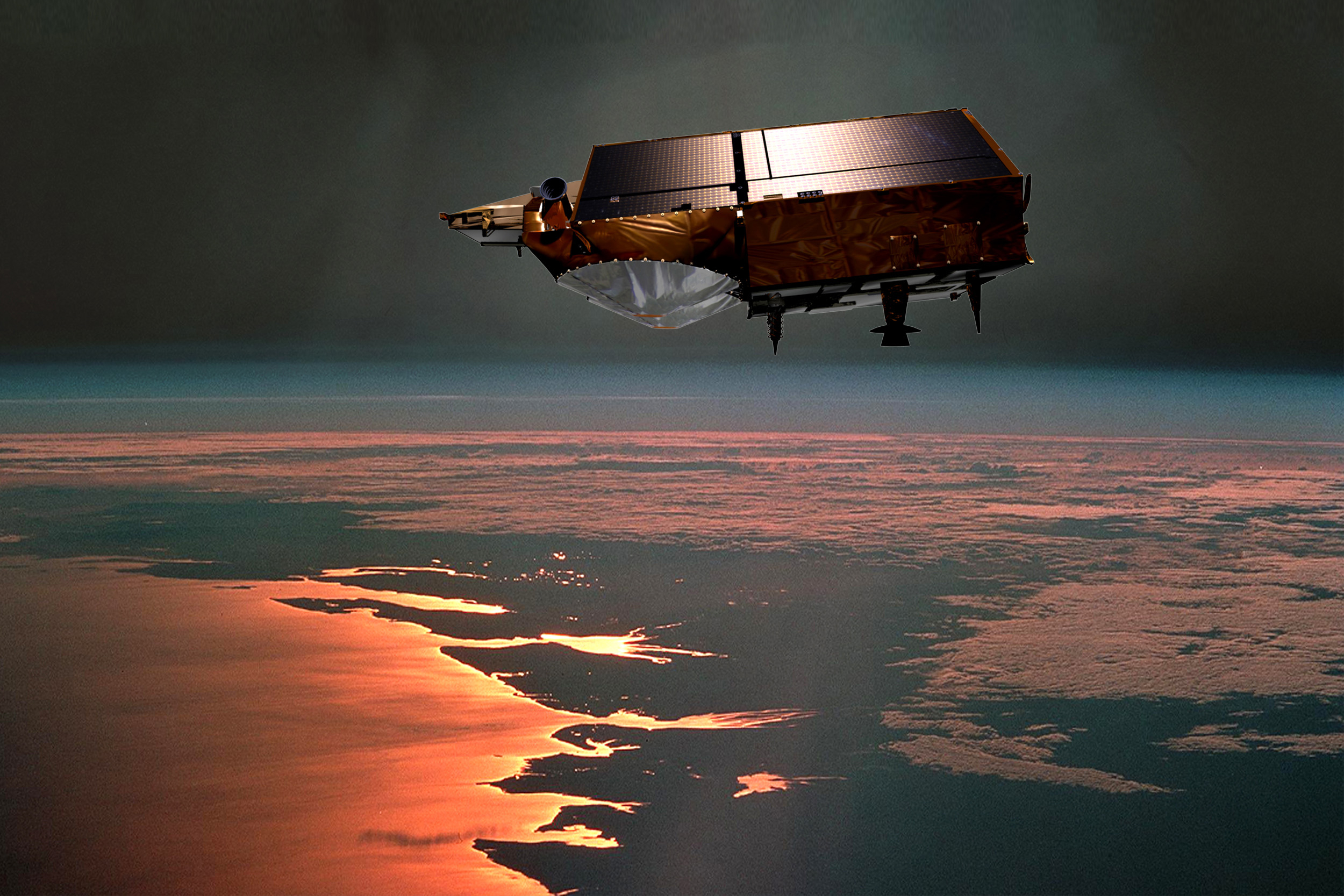
Artist's impression of CryoSat in orbit (source).