What's new?
We briefly touched upon the effectiveness of multi-spectral unmixing (MSU) for snow cover estimation, emphasizing its potential for greater accuracy and comprehensiveness, along with the added advantage of providing uncertainty estimates. However, prior to the publication of our work by my team and me, there had been no global-scale demonstration of multi-spectral unmixing in remote sensing. Despite its enhanced accuracy and comprehensiveness, the absence of such a global map for a significant period can be attributed to two primary reasons.
Firstly, multi-spectral unmixing is computationally demanding, which posed a significant hurdle. Secondly, the spectral signatures used as references were generally unsuitable for global applications. Both of these challenges were addressed in our work. As of September 15, 2023, no other global-scale maps utilizing multi-spectral unmixing have been produced.
Locally Adaptive Multi-Spectral Unmixing
Multi-spectral unmixing, along with machine learning techniques, offer flexibility in handling diverse data inputs and have showcased promising outcomes. However, current leading implementations of multispectral unmixing rely on spectral signatures from a spectral library, which poses challenges when applying these methods on a global scale. This challenge arises because spectral signatures for snow-free and snow-covered areas exhibit significant variability both locally and globally, necessitating an extensive spectral library. An alternative approach involves modeling spectra based on various factors like geographical location, surface type, and temperature. Yet, both of these approaches quickly become impractical due to their complexity.
In contrast, LAMSU takes a more pragmatic approach by initially identifying and classifying obvious land cover types. These identified classes then serve as spectral signatures for the remaining pixels in the image. This approach has the advantage of addressing several issues, including variations in atmospheric conditions, as all spectral signatures originate from the same set of measurements (as opposed to spectral signatures from laboratory records, common in spectral libraries).
Another challenge with multi-spectral unmixing is its computational intensity. However, the approach outlined here significantly reduces the number of pixels that require processing. This reduction occurs because many pixels can be readily classified as either snow-covered (e.g., Greenland) or snow-free (e.g., the Sahara Desert) during the initial detection step. Additionally, the entire program is implemented in C with OpenMP, a strategy chosen to optimize computational efficiency. Spectral unmixing inherently involves a substantial amount of linear algebra, which has been implemented completely on our own in C to minimize computational overhead.
The early work was presented at the 2022 EGU in Vienna.
You can read more about the implementation in a published and peer-reviewed work here. This was then also presented at the 2023 EGU in Vienna.
The work has also been highlighted by ESA, you can read more about that here.


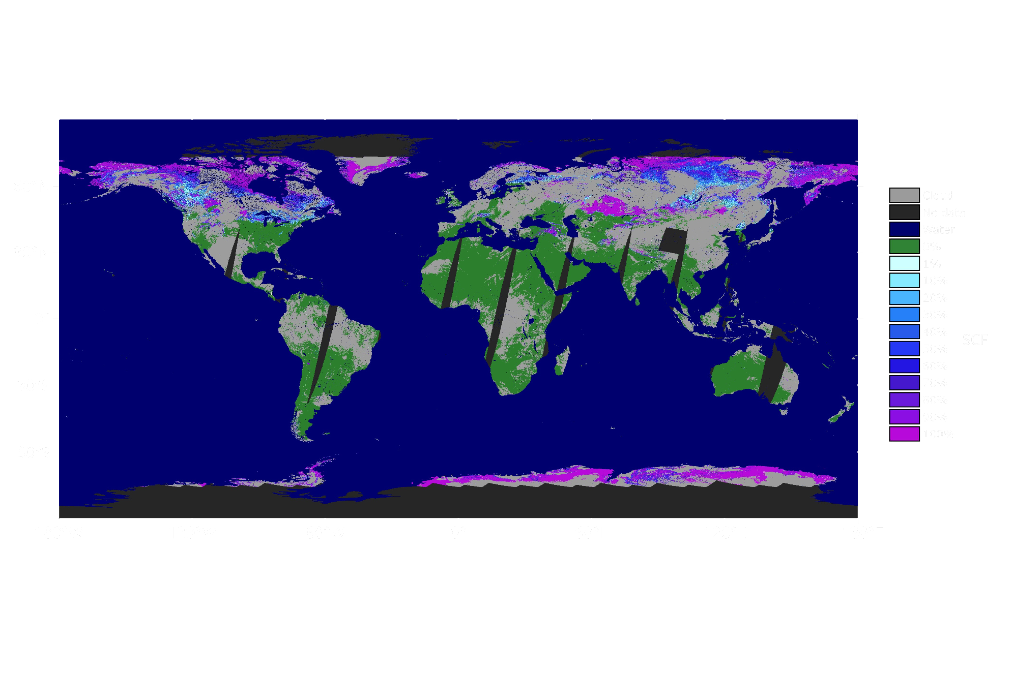
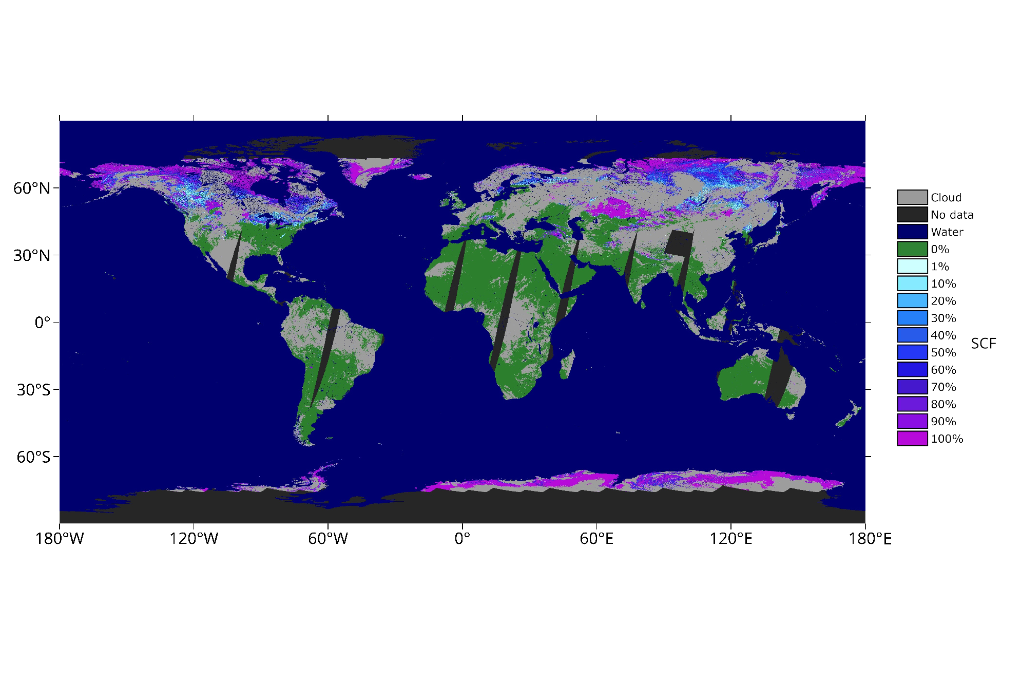
The depicted image illustrates the estimation of snow coverage using the LAMSU method. Each individual pixel undergoes an assessment to determine the extent of snow coverage, measured on a scale from 0% to 100%. The source data for generating this map comes from Sentinel-3A/B, a pair of satellites equipped with cameras that capture global imagery on a daily basis. The specific date represented in this map is March 8, 2020. Sentinel-3 A and B employ the SLSTR and OLCI instruments to capture these images, which were subsequently resampled to a resolution of 250 meters. It's worth noting that the raster image spans 14,400 pixels in width and 7,200 pixels in height. This roughly corresponds to a ground resolution of 1 km by 1 km.
You can read more about Sentinel-3 here.

