Finding Ridge Lines in Point Clouds (Part 2)
This project extends the work done about a year earlier, more about that can be found here. The project revolves primarily around the a systematic, automatic, accurate and large scale localization of ridgelines in point clouds. The software package that was developed during the initial project was coined DakGemak and provided the ridgelines in the datasets that were available up to then. For the second part of this project, the software was further improved, rerun on the previous and new datasets (up to AHN6). Accordingly, more new ridgelines were identified along with new statistics for the varying datasets. At the same time, an intern at Het Waterschapshuis started an investigation on new methods for the combination of coinciding ridge lines for the purpose of creating a reference ridge line dataset.
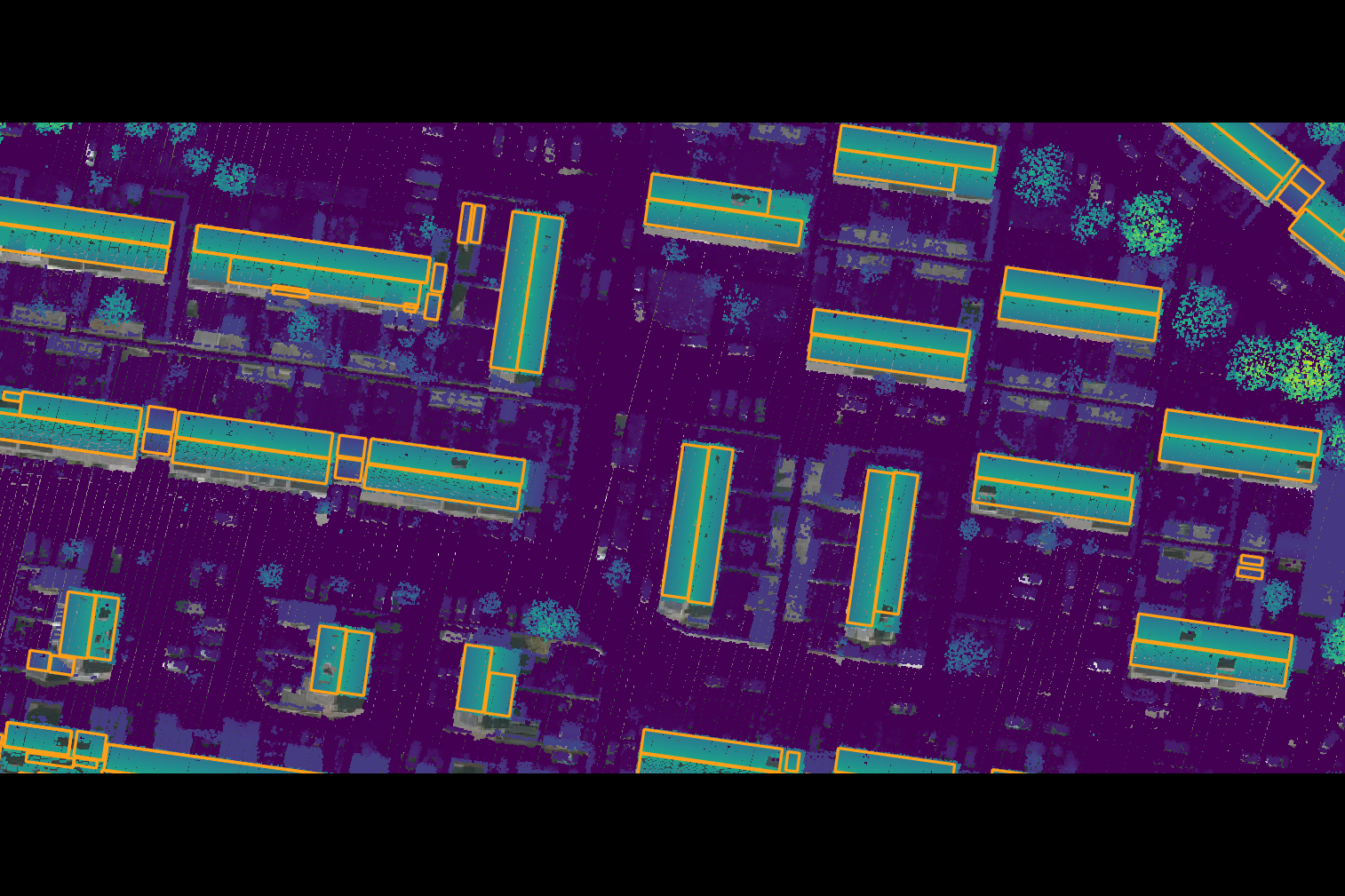
Source: AHN and Beeldmateriaal.